Purpose-built for Southwest Florida’s volatile microclimates. Get exact coordinate-specific dry-in windows, localized storm timing, and morning shift confirmations before weather hits your jobsite.
Tailored directly to your project coordinates—navigating the localized sea breezes and volatility national models miss.
Next-Shift Decision Brief in the evening for dispatch + Morning Confirmation before crews roll.
Official meteorological weather verification memos protecting your project schedule and profit margins.
Free apps and out-of-state forecast desks treat Florida like any other state. SiteReady is purpose-built to navigate Southwest Florida's unpredictable microclimates with coordinate-specific decision briefs before crews and materials roll.
Broad Regional Averages (Blind to Florida Microclimates)
Engineered Exclusively for SWFL Microclimates
We customize operational thresholds, alerts, and decision matrices to match your company's parameters across roofing, concrete, sitework, painting, and commercial grounds maintenance.
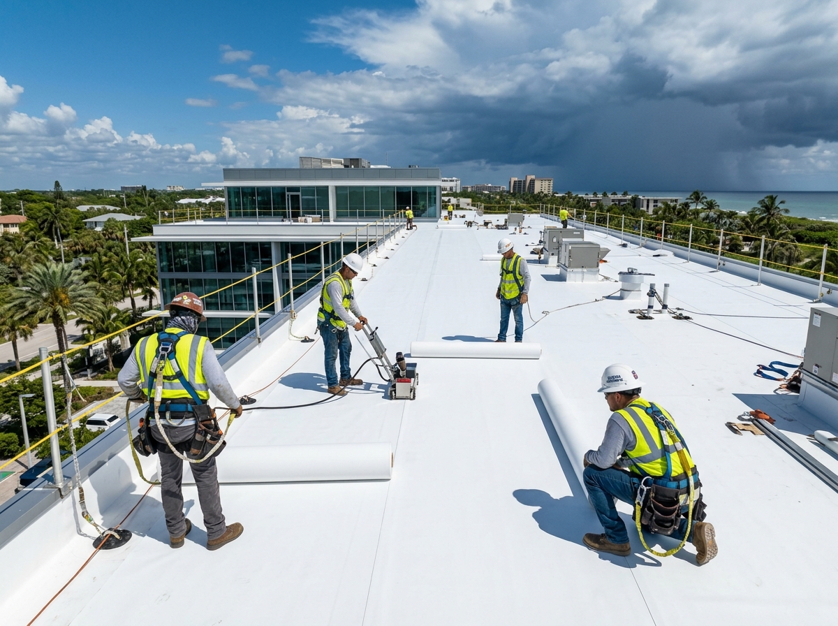
Know when dry windows are favored to close and wind gusts pick up before opening a commercial roof deck.
Projected safe hours to tear off & seal before rain arrives.
Peak gust timing for crane picks, roll-out, and staging.
Advance storm arrival times to safely clear elevated roof decks.
Peak thermal hours to plan mandatory hydration and breaks.
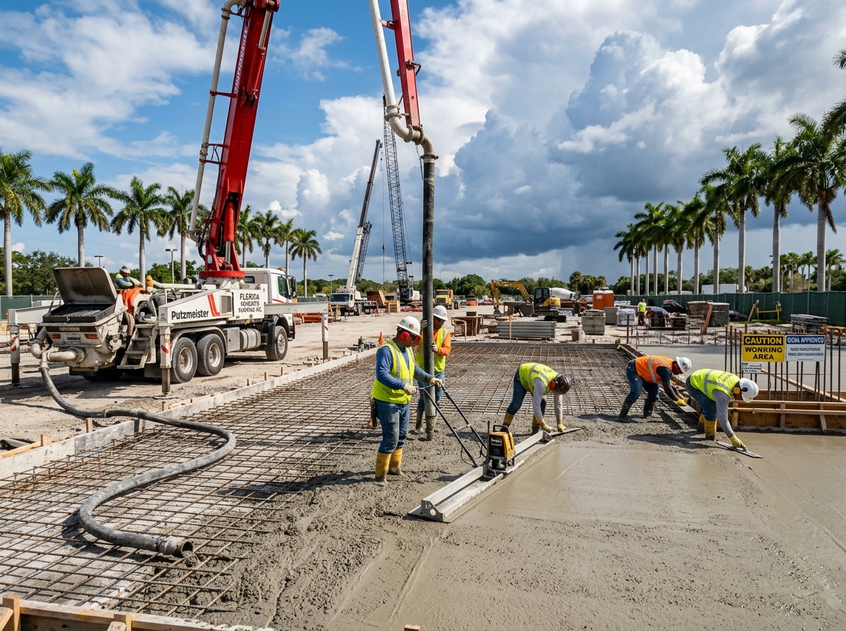
Protect pour schedules, coordinate batch trucks, and prevent costly slab washouts.
Projected rain-free hours for slab placement, finishing, and curing.
Rain arrival timing to coordinate transit & pour start windows.
Humidity, wind, and temp tracking to reduce plastic shrinkage cracking.
Ground and air temperatures for proper strength and set times.
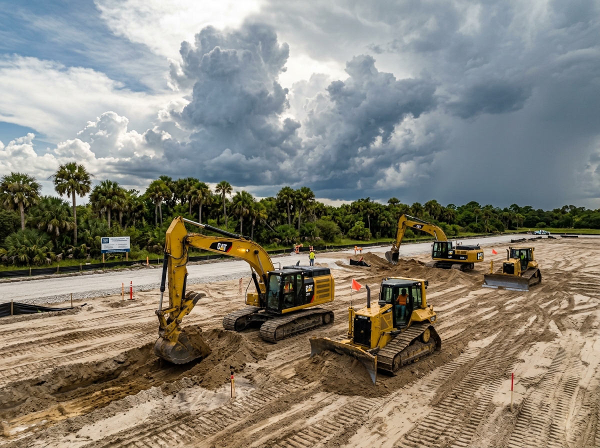
Control site moisture, verify trench stability, and prevent miring heavy equipment.
Rainfall amounts to prevent rutting subgrade & failing compaction.
Downpour volume forecasts to manage retention ponds & pumps.
Surface wetness timing to keep dump trucks and scrapers rolling.
Sudden gust forecasts for safe trench box & pipe setting.
Verify dew point spreads, humidity thresholds, and wind limits before spraying exterior coatings.
Substrate moisture levels to support coating adhesion & reduce blister risk.
Estimated dry hours needed for coatings to reach wash-safe cure.
Peak gust timing to prevent overspray drift on parked vehicles.
Humidity ceilings to stop paint blushing and tacky drying delays.
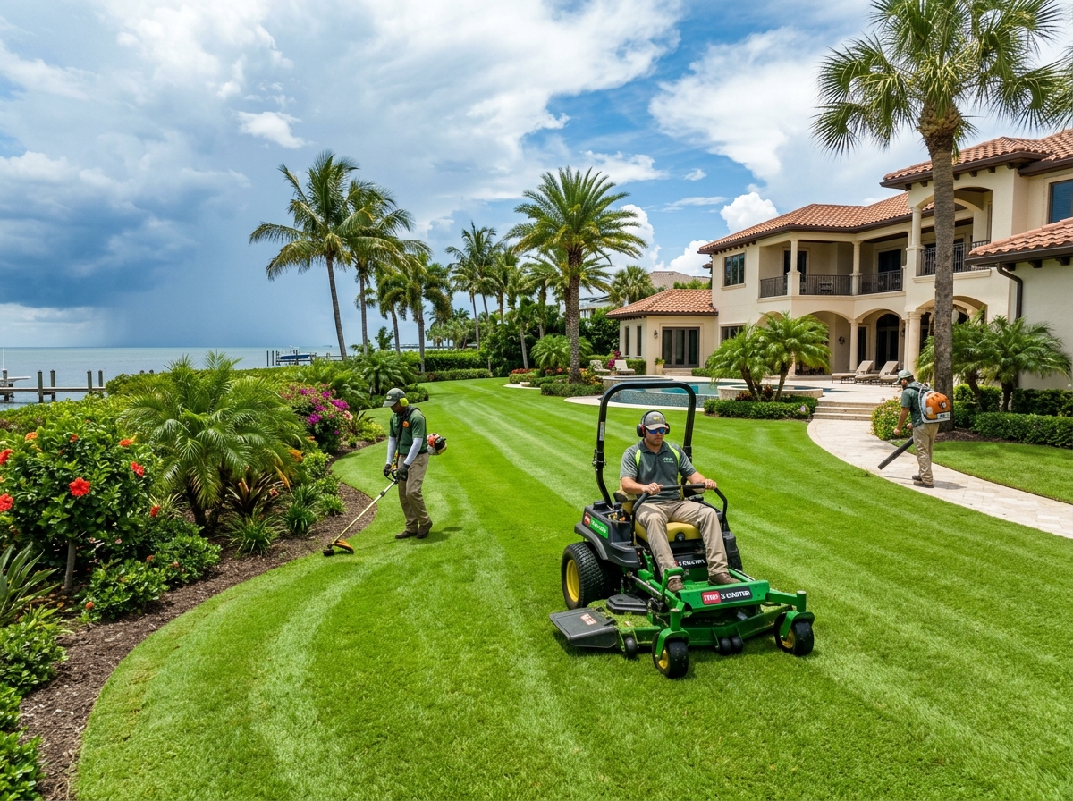
Schedule drift-free chemical applications, avoid turf rutting, and protect fresh sod.
Wind speed windows for safe herbicide & fertilizer spraying.
Moisture levels to prevent heavy mowers from tearing up soft turf.
Rain volume forecasts to avoid laying sod before a downpour.
Extreme heat & humidity levels to schedule shaded hydration breaks.
SiteReady is built to keep your office, dispatchers, and field foremen on the exact same page.
Delivered in the evening (customized to your cutoff time) so you can schedule crews, order materials, and line up equipment rentals with confidence.
Delivered early morning before shift start to recap overnight ground conditions, provide the full hour-by-hour timeline, and set clear wind/rain limits.
Advance localized guidance when tropical depressions, tropical storms, or severe weather patterns threaten Southwest Florida.
Helps you schedule concrete pours, roof dry-ins, crane lifts, and trade sequencing for the week ahead.
Site-specific reports verifying damaging wind, hail, heavy rain, or lightning strikes for insurance claims and project records.
A fast mobile and desktop web portal where project managers can check all active sites, view live radar, and download reports 24/7.
Click through the sample reports below to see how SiteReady gives contractors clear, no-nonsense guidance for their jobsites.
Customized for Commercial Roofing: Dry-in windows, crane hoisting limits, and crew heat index.
| Shift Time | Sky Conditions | Rain Chance | Wind & Peak Gusts | Air Temp & Heat Index | Lightning Risk | Operating Risk |
|---|---|---|---|---|---|---|
| 07:00 AM | Clear & Sunny | 10% | ENE 7 mph | 74°F Feels 74°F (LOW) |
Low | Low |
| 10:00 AM | Mostly Sunny | 10% | ENE 10 mph (G15) | 81°F Feels 84°F (LOW) |
Low | Low |
| 01:00 PM | Clouds Building | 30% | W 13 mph (G18) | 85°F Feels 89°F (CAUTION) |
Moderate | Moderate |
| 04:00 PM | Heavy Storms | 75% | NW 20 mph (G32) | 82°F Feels 86°F (CAUTION) |
High | High |
Hour-by-hour operational timeline tailored for morning dry-in, crane wind limits, and afternoon storm timing.
| Shift Time | Sky Conditions | Rain Chance | Wind & Peak Gusts | Air Temp & Heat Index | Lightning Risk | Operating Risk |
|---|---|---|---|---|---|---|
| 07:00 AM | Clear & Sunny | 10% | ENE 6 mph | 74°F Feels 74°F (LOW) |
Low | Low |
| 08:00 AM | Clear & Sunny | 10% | ENE 7 mph | 77°F Feels 77°F (LOW) |
Low | Low |
| 09:00 AM | Clear & Sunny | 10% | ENE 8 mph (G12) | 80°F Feels 80°F (LOW) |
Low | Low |
| 10:00 AM | Clear & Sunny | 10% | ENE 9 mph (G14) | 82°F Feels 84°F (LOW) |
Low | Low |
| 11:00 AM | Mostly Sunny | 15% | W 10 mph (G15) | 84°F Feels 87°F (CAUTION) |
Low | Low |
| 12:00 PM | Clouds Building | 25% | W 12 mph (G16) | 86°F Feels 90°F (CAUTION) |
Low | Low |
| 01:00 PM | Pop-Up Showers | 35% | WNW 14 mph (G18) | 87°F Feels 92°F (CAUTION) |
Moderate | Moderate |
| 02:00 PM | Scattered Storms | 65% | NW 16 mph (G24) | 86°F Feels 90°F (CAUTION) |
Moderate | Moderate |
| 03:00 PM | Heavy Storms | 75% | NW 20 mph (G32) | 83°F Feels 88°F (CAUTION) |
High | High |
| 04:00 PM | Scattered Storms | 70% | NW 18 mph (G28) | 81°F Feels 85°F (CAUTION) |
High | High |
| 05:00 PM | Lingering Showers | 40% | NW 12 mph (G18) | 80°F Feels 83°F (LOW) |
Moderate | Moderate |
Daily dry windows, temperature ranges, and commercial trade risk ratings for the week ahead.
| Day & Date | Primary Dry Window | Temp Range | Sky & Storm Pattern | Concrete / Slabs | Roofing / Dry-In | Crane / Wind | Confidence |
|---|---|---|---|---|---|---|---|
| Mon (Aug 24) | 7:00 AM – 1:30 PM | 88–90°F Low 73–75°F |
Clear AM • Late PM Pop-Up Storms | Optimal | Optimal | Favorable | High (90%) |
| Tue (Aug 25) | 7:00 AM – 1:00 PM | 89–91°F Low 74–76°F |
Sunny & Dry AM • Isolated PM Storms | Optimal | Optimal | Favorable | High (85%) |
| Wed (Aug 26) | 7:00 AM – 12:00 PM | 87–89°F Low 75–77°F |
Mostly Sunny • Storms after 1:30 PM | AM Only | AM Only | Gusts PM | High (80%) |
| Thu (Aug 27) | 7:00 AM – 11:30 AM | 86–88°F Low 75–77°F |
Moisture Surge • Early Storm Onset | Caution | Caution | Favorable | Medium (70%) |
| Fri (Aug 28) | Marginal Windows | 83–85°F Low 73–75°F |
Deep Tropical Moisture • Heavy Rain | High Risk | High Risk | Variable | Medium (65%) |
| Sat (Aug 29) | 7:00 AM – 1:00 PM | 87–89°F Low 74–76°F |
Drier Air Returning • Late PM Rain | Optimal | Optimal | Favorable | Medium (60%) |
| Sun (Aug 30) | 7:00 AM – 2:00 PM | 88–90°F Low 73–75°F |
Clear AM • Isolated Showers | Optimal | Optimal | Favorable | Moderate (50%) |
See what unforecasted rain delays, false shutdowns, or ruined materials cost your company on a single active commercial jobsite.
Real financial cost of 1 bad weather day • Works for W-2 crews and 1099 subcontractors
Month-to-month terms. No long-term lock-in. Report delivery times are completely flexible and customized to your dispatch cutoffs and shift start hours. Start with our 30-Day Pilot to prove operational value on your active commercial jobsite or trade corridor.
See exactly how jobsite capacity, meteorologist callback consultations, and verification deliverables escalate across our commercial subscription tiers.
| Deliverable / Feature |
30-Day Pilot
$149 / 30 Days
|
Basic
$249 / Month
|
Commercial Standard
Multi-Site
$499 / Month
|
Enterprise
$849 / Month
|
|---|---|---|---|---|
| Active Monitored Jobsites | 1 Site | Up to 2 Sites | Up to 6 Sites | Up to 10 Sites (+$99/mo each beyond 10) |
| Evening Next-Shift Decision Briefs (Flexible Dispatch Timing) | ||||
| Morning Daily Site Ops Reports (Custom Pre-Shift Delivery) | ||||
| Sunday 7-Day Regional Planning Guide | ||||
| Client Weather Portal Experience | Full Portal (1 Site) | Full Portal (Up to 2 Sites) | Full Portal (Up to 6 Sites) | Full Portal (Up to 10+ Sites) |
| Certified Weather Verification Reports (Insurance & Delay Claims) | — | 1 Report / mo | Up to 2 Reports / mo | Up to 4 Reports / mo |
| SWFL Meteorologist Phone Access | Onboarding Setup & 30-Day Review Call | Email & Portal Help Desk | Phone Consultation on Request (Direct Callback) | Priority Phone Consultation (Fast-Track Callback) |
| Tropical Weather Site Tie-Down Briefs | — | — | Dedicated Site Tie-Down Briefs | Dedicated Site Tie-Down Briefs |
| Trade-Specific Report Customization | Standard Commercial Defaults | Custom Parameters for Your Trade | Custom Parameters + Milestone Tracking | Custom Parameters + Priority Milestones |
| Contract Terms & Commitment | 30-Day Evaluation | Month-to-Month | Month-to-Month | Month-to-Month |

Dedicated commercial meteorology desk providing site-specific operational forecasting across Sarasota, Manatee, Charlotte, and Lee Counties since 2021.
Everything you need to know about how SiteReady integrates into your daily trade and field operations.
• When is our safe dry work window today?
• Did it rain on our jobsite overnight?
• Will wind gusts exceed crane or roofing safety limits?
Instead of guessing off a free smartphone app icon, you get a clean evening brief and morning confirmation built for your exact jobsite coordinates.
Activate 30 consecutive days of Daily Site Ops Reports, Next-Shift Decision Briefs, and full client portal access calibrated directly to your active commercial jobsite.
Select an open date & time on our live operations calendar below. Choose between a live Google Meet video screen share (to inspect our live portal & radar) or a direct phone consultation with a SiteReady Commercial Meteorologist.